


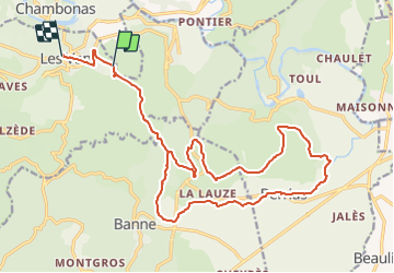

19.8 km | 28 km-effort


User


FREE GPS app for hiking
 SityTrail
IGN / Geographical institutes
SityTrail World
The world is yours!
Trail Mountain bike of 23 km to be discovered at Auvergne-Rhône-Alpes, Ardèche, Les Vans. This trail is proposed by WALCH.
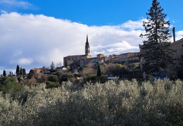
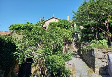
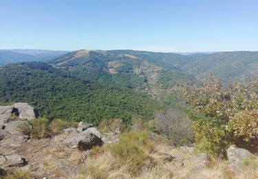
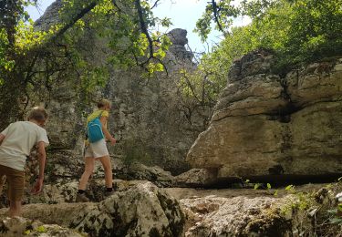
Une partie en goudron puis un chemin en terre, jolie petite ballade.la deuxieme partie est dans la garrigue, ca gratte un peu les mollets. mais c'est super sauvage
Walking
Walking

Walking
Walking
Walking

Walking

Walking

Mountain bike
Walking